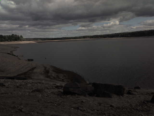
Water Levels This page is to monitor the water levels of Hinckley Lake. The water levels have been an important topic the last few years because of the low levels that cause such problems like water table depletion, danger to boaters, and an unattractive appeal to the lake. The water of Hinckley serves multiple purposes such as: main supply of water to Utica, turbine generated power, feeder to the canal, and more. Below are statistics that are monitored daily: No more boating on the lake this season...water levels extremely low
Reservoir Facts Reservoir Data Current Reservoir Levels
West Canada Creek Upstream Flow (Into Lake)
West Canada Creek Downstream Flow (From Lake With Cincinnati Creek Merger)
All graphs are Copyright of the U.S Geological Survey (USGS). Any errorornous data is not our responsibility. |